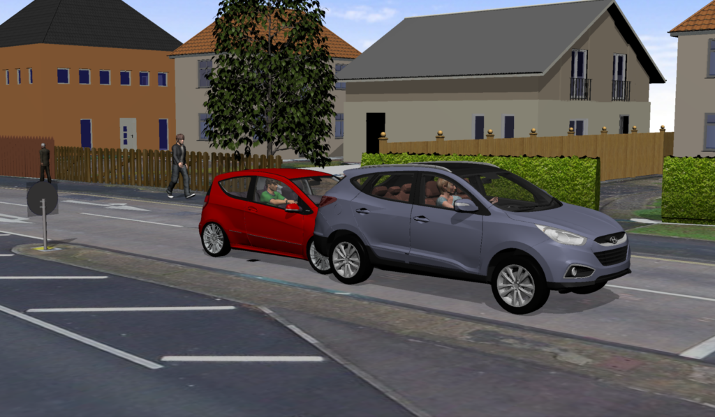
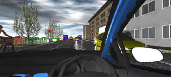
Capturing locus data, road geometry, marks, vegetation and features such as CCTV camera positions using laser scanning technology enables the locus to be visualised in three dimensions. This data can subsequently be used to consider visibility and sight line issues, vehicle, pedestrian and cyclist positions, vehicle dynamics and collision reconstruction using 3D simulation software.

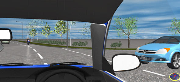
Using 3D laser scanning techniques, it is possible to create highly accurate 3D point clouds or 3D models to replicate the incident locus including the geometry, any marks, vegetation as it was at the time of the incident, lines of sight, any obstructions to the view and more. The models can be used to show relative positions of parties on approach to a collision and give detailed visual representations of vehicle movements.
Our experts are highly experienced in using 3D modelling to show the areas of vision and ‘blind spots’ that apply to drivers of large goods vehicles, in combination with modelling of movements to show whether an injured party was available to be seen by a driver.
Combining the 3D laser scan data with CCTV video recordings it is possible to utilise camera matching techniques to position vehicles and pedestrians in the scene and determine their relative movements.
TRL have the capability to laser scan the incident locus and also to analyse and process laser scan data captured by the Police during their initial investigation.
The experts at TRL have the capability to combine the physical evidence data collated at the scene, the laser scan data, and 3D models of the incident vehicles to produces 3D simulations utilising collision reconstruction software based upon the laws of physics.
“A scale 3D representation of any collision scene can be created, including complex multi-vehicle scenes.”

3D scene creation

Scene from animation showing on-coming motorcycle with subject vehicle turning right across its path
