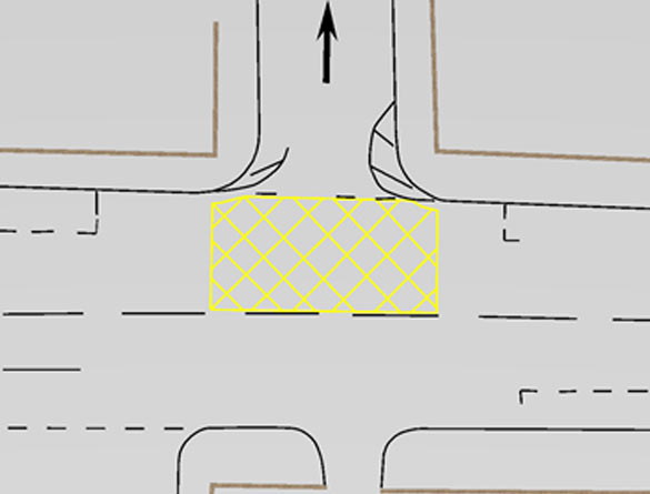
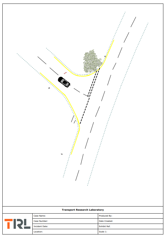
Scene plans are useful to enable a full understanding of a collision or incident. TRL uses software which enables the creation of scale plans from survey and laser scan data, as well as direct from satellite imaging or scaled photographs.
2D Scene Plans

Scale plans can be created using survey data obtained by the TRL team, or by using Police data (for example), which we can assess to verify its accuracy.
Our comprehensive software suite includes a vast array of vehicle models, as well as road markings and signage, to enable a bespoke 2D scene plan to be created that is relevant to each case; from a scale line drawing to a more comprehensive plan replicating the road layout and terrain as well as the positions of vehicles pre and post collision.
Figure 1 – 2D scale plan showing road and building layout
Related Areas


